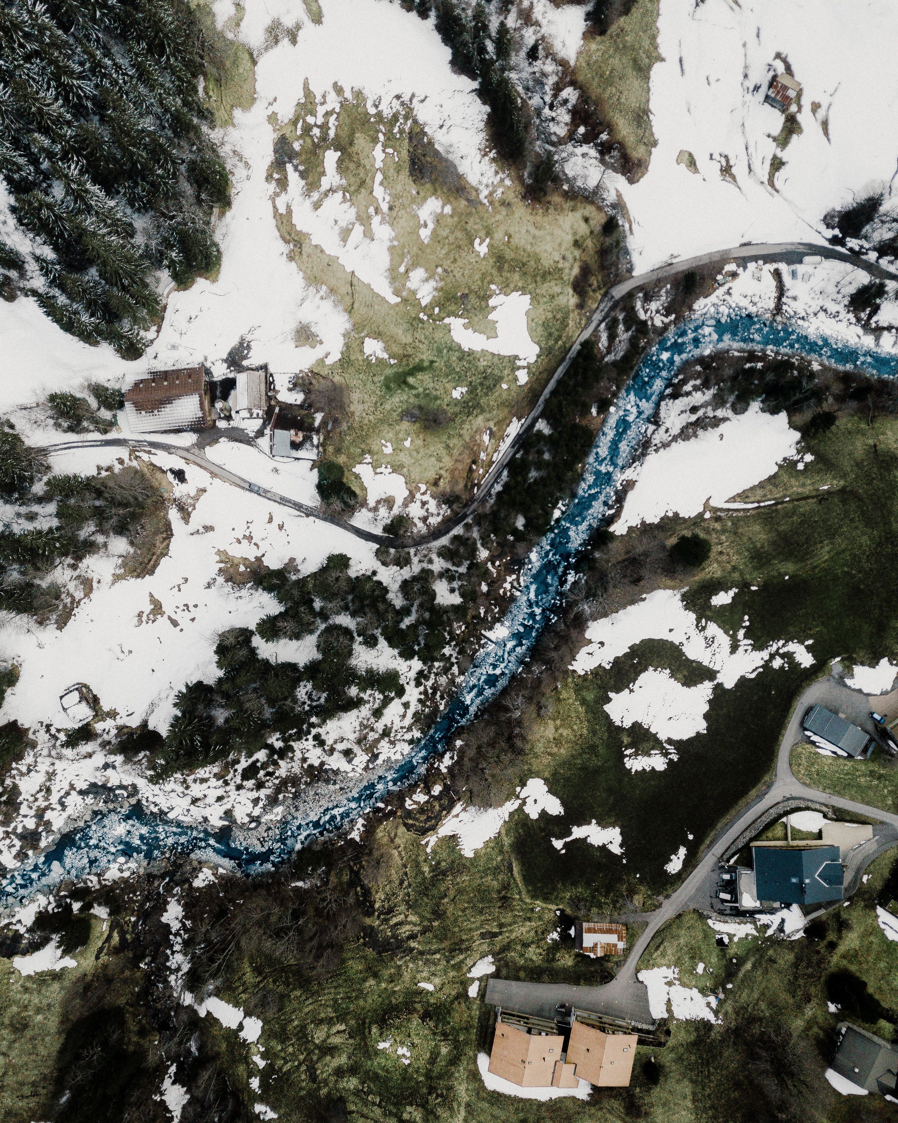
GIS and Remote Sensing Applications for the Water Sector
Remote sensing provides critical data sources for mapping water resources and changes, while GIS provides the best tool for water resource and flood risk management, presentation, visualization and publication education.
IHE Delft
IWA members get 100% discount on this course
Starts
Oct 23, 2022
Language
EnglishCertification
IWACourse Type
OnlineMember fee:
Standard fee: €2,000.00
Course Description
The course focuses on the analysis of digital spatial data, preparation for numerical modelling, presentation of modelling results and support to the decision making process. The topics covered in the course include the following:
- Introduction to geographic information systems and remote sensing technologies
- Active and passive remote sensing
- Data structures
- Map projections and coordinate systems
- Processing of digital geographic information
- Creation of digital elevation models
- Visualisation
- Mapping of water and environmental features
- Watersheds, streams and aquifers delineation
- Digitisation
- Soil and land use mapping
- Map algebra
- Terrain analysis for hydrological and hydraulic modelling
- Presentation of modelling results
- Analysis to generate new information and knowledge
- Dissemination of new information and knowledge
- GIS as a decision support tool.
Course Audience
The course is designed for professionals (engineers and scientists) active in the water/environmental sector, especially those involved in planning and management of water systems as well as numerical modelling. Pre-requisites are a basic knowledge of computing and water related topics.
Learning Objectives
The aim of this course is to provide both a solid theoretical understanding and a comprehensive practical introduction to the use of geographic information systems and remote sensing technologies for the analysis and solution of different water and environmental problems.